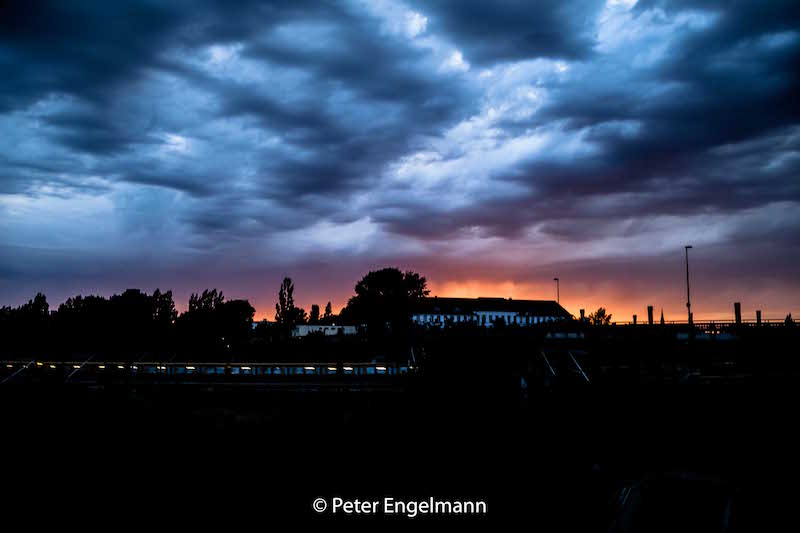
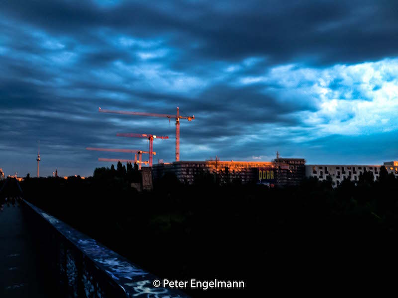
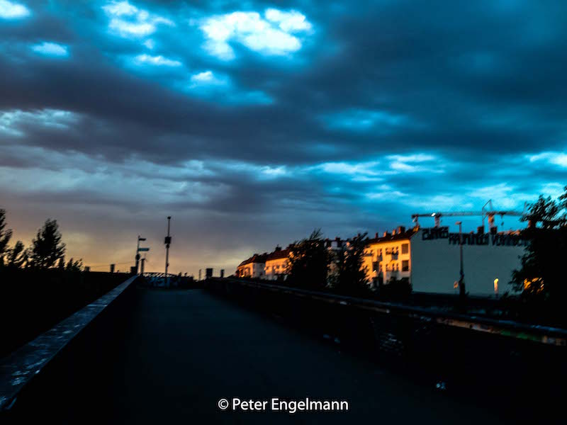
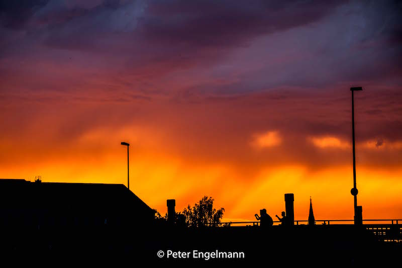
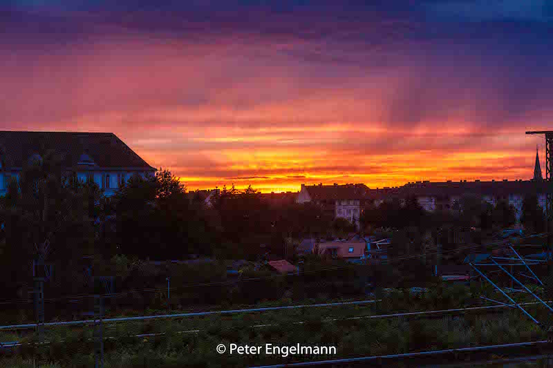
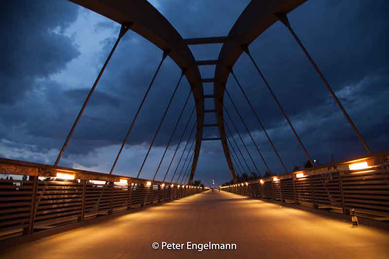
Berlin, August 1, 2017: Spectacular Evening Sky

On August 1 again a hot air mass met a cold air mass over Germany. Subsequently, there was an air mass limit. Air mass limits are often the reason for severe weather events like extreme thunderstorms with tornados and flooding or downbursts.

(A good definition what an air mass is could be found at the UK met office:http://www.metoffice.gov.uk/learning/learn-about-the-weather/how-weather-works/air-masses.)

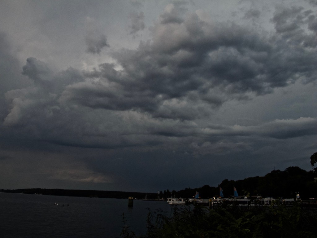
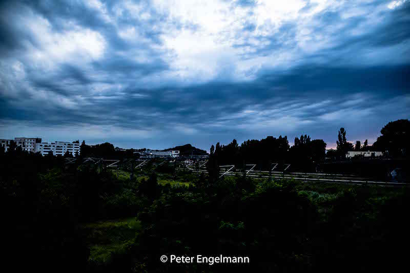
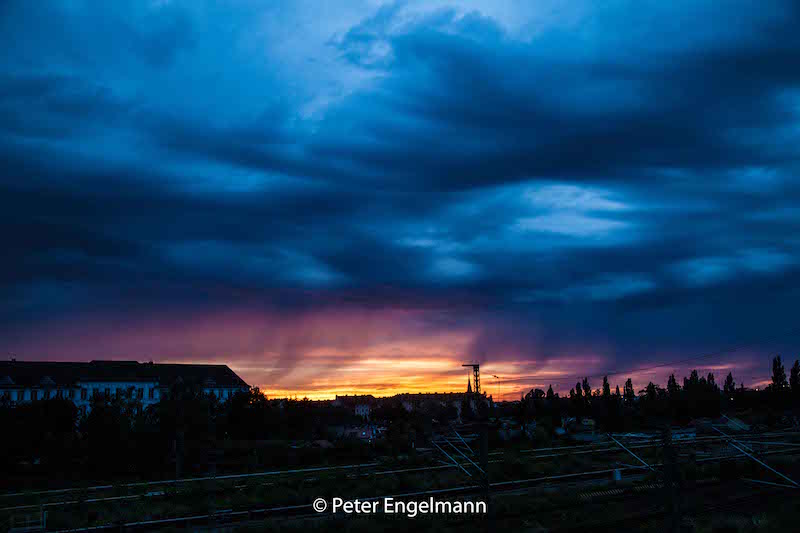
Severe storms were expected, the weather service also issued a warning for Berlin. In the afternoon and evening, a line of thunderstorms appeared. There was severe weather in Brandenburg and many other areas. However in Berlin after a short time of rain, the turbulent sky opened a bit and a red evening sun was illuminating the dramatically structured clouds.


Many people stopped and took pictures of the unusual weather situation. Of course, evening-glow happens a lot but this dramatic sky was extraordinary. One reason for this impressive sky is that if you have a weather situation with thunderstorms close or developing there is a chaos in the atmosphere. There are several levels in the lower and higher atmosphere with different clouds and there is a lot of circulation.


The impressive scenery lasted till it became dark. There was only a little wind and it was still very warm in the city during the night. Some sheet-lighting could be seen later but the bigger storms happened more in the South.

It was a relief after two severe storms with extraordinary flooding hit the city two times before.

But summer 2017 is very unpredictable in Europe. Two days later a very strong cell did damage in the South of Berlin and later in August Austria suffered from storms with heavy rain followed by mud-slides.

On the south-side of the Alps in Italy there are still heat-waves. As mentioned before these weather-patterns fit in the scenarios developed by scientists about effects of climate change.


There is a good-viewpoint between railway station “Gesundbrunnen” in Berlin and the well-known Bornholmer Straße. The pictures below were taken from a small bridge named “Schwedter Steig”. I had seen that bridge a couple of times when using the train. Its always useful particularly if you want to do weather-pictures to have an inventory of good view-points before, since if an interesting weather pattern occurs there is no time to search for a good place with a lot of open skies to take pictures or videos.


Berlin, July 22, 2017: The Flood Again

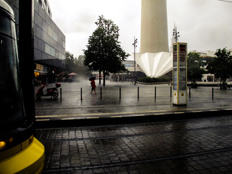
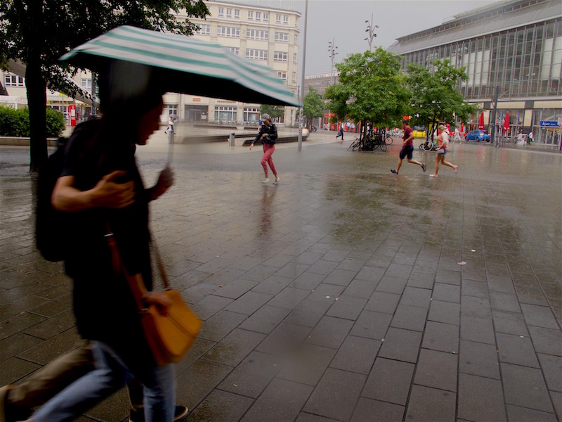
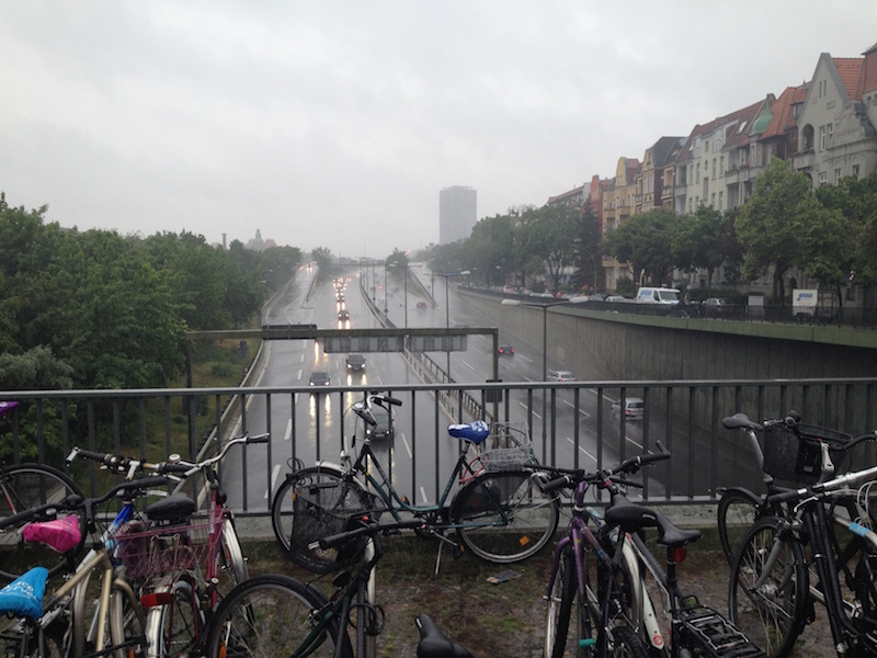
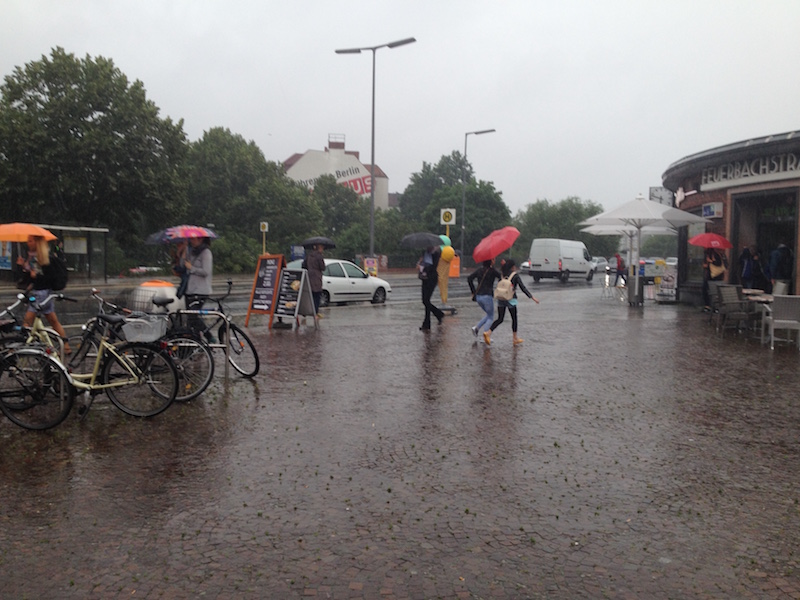
Again scenes looking like from Roland Emmerich’s “Day After Tomorrow”. Roughly three weeks after the flooding with lots of damage the German capital was again hit by severe weather. A thunderstorm and torrential rain hit the city on Saturday afternoon when many people were celebrating the Christopher-Street-Day-Parade. Luckily it didn’t affect much of the parade, but also this time there was a state of exception.

In some parts of the city particularly in the North and North-East but also in the South-West a lot of rain came down, and in Pankow, a storm left a trace of destruction. Trees fell on cars, the S-Bahn Linie 2 commuter train was interrupted in the North for some time, also the tracks of a street-car were affected.

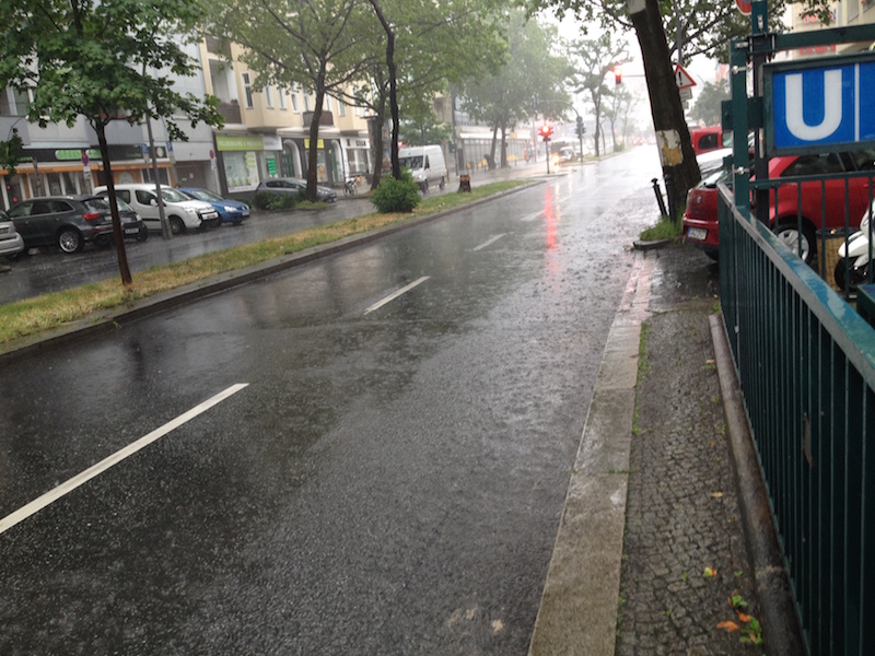
Also again there was a lot of water on some streets turning them into canals like three weeks before. It’s noteworthy that often car drivers are obviously not conscious about the danger for their cars and perhaps also for themselves: if you drive into a puddle of water and the level of water is high enough its possible the water is sucked into the air filter. Subsequently, the engine could be completely destroyed. Cars could also become deadly traps if the car is drowning in a flooded underpass and the doors cannot any longer be opened.

If possible try to avoid driving when these type of flash-floods occur which are a novelty in Germany with this kind of intense rain and also the fact that we have now repeated events of that kind in shorter time-periods during summer.
<


It certainly looks like one of the predicted effects of climate change; for a long time, scientists warned of higher levels of moist air in the atmosphere during summertime. These wet air masses can lead to more extreme weather like heavy thunderstorms and extreme rain.

Obviously, it’s not yet possible to have a more precise forecast or nowcast about thunderstorms with extreme flooding. Forecasts were very precise this day about the time when the bad weather was supposed to arrive around 3-4pm in the afternoon, and there was also a warning about heavy rain, but it’s, of course, impossible to say where exactly the most extreme events do happen.

For example, the south-west of Berlin is usually less affected by severe thunderstorms as the North but there are exceptions from the rule. This time an underpass in Zehlendorf (South-West) got flooded. During the last event, the biggest mass of rain hit quarters in the west (Wilmersdorf) and a city north of Berlin, Oranienburg, where thunderstorms are more often.

Luckily the rain didn’t last as long as two weeks ago. Therefore it was another extreme day for police and fire-starters but it should be less damage as during the previous extreme weather event.


June 29, 2017: State Of Exception In Berlin Due To Epic Rainfall

Berlin and North-East-Germany have an increasing problem due to climate change: it’s getting too dry. Statistically, the annual precipitation amount in Berlin is around 550mm or less. The City and Brandenburg, which is the driest province in Germany, are situated between the continental climate regions in Eastern Europe and the West of Germany which is influenced by a more maritime climate. Often rainfall from low-pressure systems coming in from the west side doesn’t reach Berlin. But with every new year, there was even less rain.

In June 2017 there was news about problems with sinking phreatic levels and lakes in the Barnim ( a region in the North-East of Berlin) even dried out. This was shortly before a big surprise which kept fire-starters and police awake for more than 24 hours.

June 29 will be a day remembered for a historically unseen weather event. The day before brought already some severe weather with thunderstorms but at sunset, things looked calm. After some rain meadows and fields were covered with a thin layer of mist.

Only the typical cirrus clouds and weather reports indicated rain coming in for the next day.

There was indeed a flood warning in place but what happened then exceeded all expectations. In 24 hours there were 196,9 mm liters of rain per square meter in Tegel, which is the quarter of the city with the airport in the North-West. But all other parts of the city were hit by the epic flashflood too. It was like Noah’s Flood since the torrential rain didn’t stop for many hours.


Luckily there were so far no casualties but dramatic damage in various places: The U9 subway in the west was affected when parts of a tunnel were flooded, airplanes couldn’t land, many streets were underwater and a building had to be evacuated because of fears it could collapse. An endless number of cellars got flooded. Berlin’s fire-starters did an incredible job. There were over 2000 emergency responses. It was not before afternoon the next day that the state of emergency was canceled.

However, it is an eery silence at the moment. For some hours it was dry but in the late afternoon, there were again some torrential rain showers. The situation is still dangerous because trees could fall and levels of rivers are rising. There is more rain predicted for the next days.

The reason for this epic flood was an unusual weather-pattern with two low-pressure systems and extreme wet air in the Berlin-Brandenburg region. The wind was blowing from different directions. The clouds were circling around and some of them even moving back again due to the conditions in the atmosphere.

Not any extreme weather event is related to climate change but this type of tropic torrential rain is very unusual and fits in certain patterns which were predicted by scientists a long time ago. On the other side there was a flood in Berlin on April 14, 1902, which left strong memories long before global warming was an issue.

In any case, its time to take some precautions. Berlin will build new and huge water storages for the future. Today we are in praise for our firefighters who helped so many.

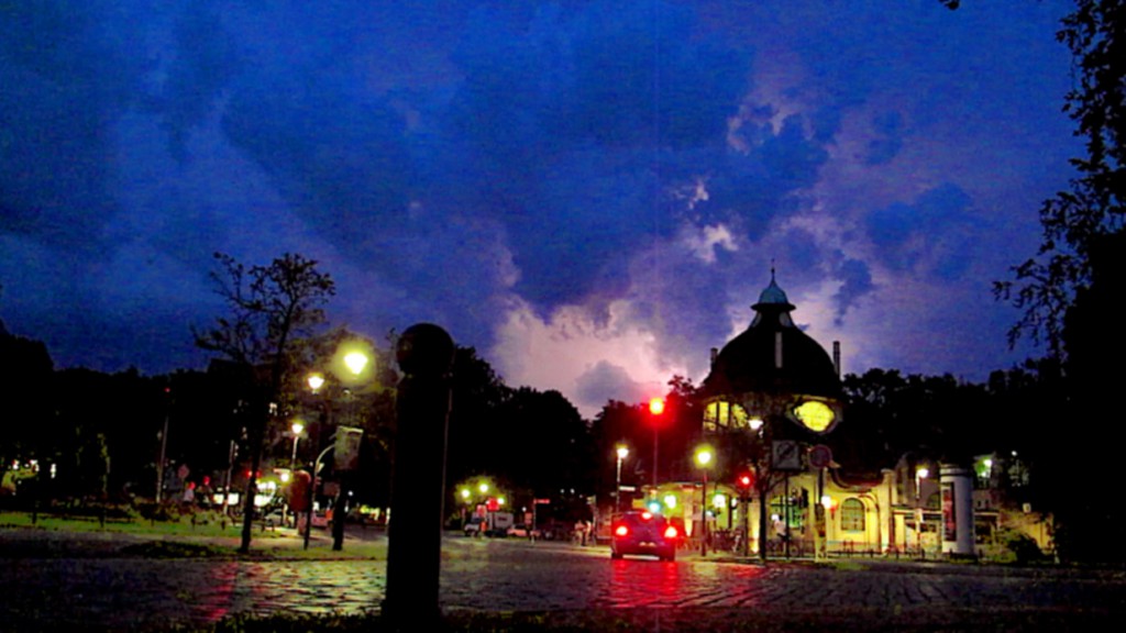
SHEET LIGHTNING: VIDEO BERLIN, AUGUST 28, 2016

Summer 2016 in Middle Europe: another year with new temperature records. August 28 was an extremely hot day in Berlin with temperatures over 34 C. Already the day before there had been some severe thunderstorms in Western Germany. A cold front was coming in from the west and in the afternoon the German Weather Service issued a warning for severe weather with strong wind gusts, thunderstorms and hail for Berlin and Brandenburg. However following nowcasts as provided by from some webpages showed that weather was very unpredictable that Sunday in Eastern Germany. It looked a couple of times as there were stronger thunderstorms taking course towards the East, then they lost their energy but in the evening some stronger storms appeared suddenly. Before the front arrived in Berlin the air became really hot and humid. It was sticky and the sky became overcast. In the south of Brandenburg there was already a strong thunderstorm. It was the typical scenario when you expect the worst. You could feel the tension.

Nevertheless there wasn’t a strong hit in Berlin, but a visually impressing storm system in the East of the City which generated sheet-lightning in the West. It was already nearly dark when that storm approached. Later, in the west side of the city there was only rainfall for some minutes. In other parts of Germany there were serious damages due to the collision between warm and cold air. There was a rotating supercell causing flooding in Hamburg and another storm did damage for example in Stendal. Lightning stopped trains in Hannover. The next day temperatures had dropped dramatically. In some places there was a temperature fall of 15 degrees. It was a release after these unusual hot days end of August. The learning lesson was that precise now-casts are still a difficult thing to do when there is chaos in the atmosphere, but should definitely further developed and made more popular since they could be a life-saving tool. Furthermore the trend of climate change related extremes continues in 2016. Adaption strategies seem mandatory for example for farming which suffered both from flooding and too much heat and droughts in other areas. It would be also worth to further investigate the connections between extreme weather and traffic accidents. Perhaps it’s a coincidence but there had been some accidents already before the thunderstorms arrived that day. Maybe the tension in the air, the humidity and the heat strongly affects the concentration of drivers. The situation in Berlin was worth for a little experiment with slow motion and an editing which created an effect similar to a time-lapse on the other side. Together with cross-dissolve transitions the video has perhaps a bit of a supernatural air:

Thunderstorm, Berlin 28. August 2016 from Peter Engelmann on Vimeo.