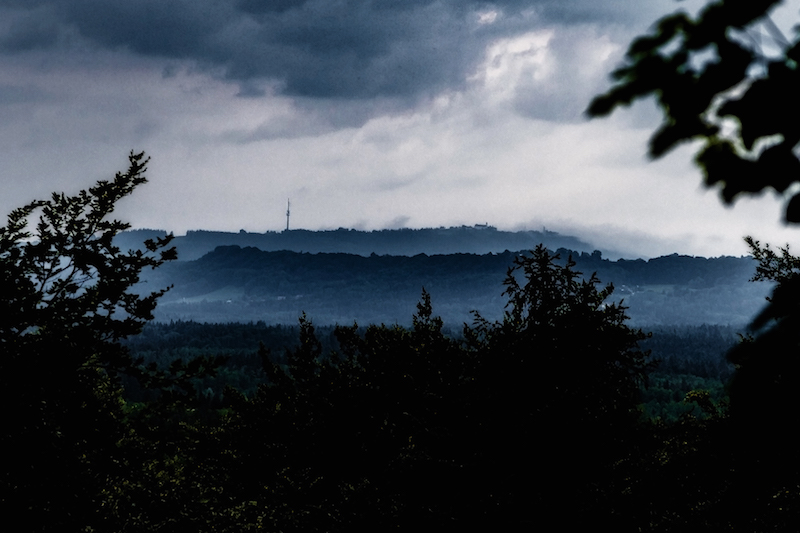
JANUARY 2019: MASSES OF SNOW

January 2019 began with new weather extremes in Central Europe. After the long drought in 2018 a lot of people hoped there would be rain and snow. Everywhere in Middle Europe there was too little rainfall from early 2018 til November 2018. In Berlin the river Spree was flowing backwards. There were concerns about the pheatric levels. Rain or Snow was indeed urgently needed to redeem the situation. Then the snow came but in a way that it created new problems.

After January 5 it was snowing in the alpine countries. However the winter dream turned for some places into a nightmarish situation. It didn’t stopped snowing for days. Villages in Austria and Germany were isolated and couldn’t any longer reached by cars. The problem: Snow and wind turned trees into dangerous obstacles.

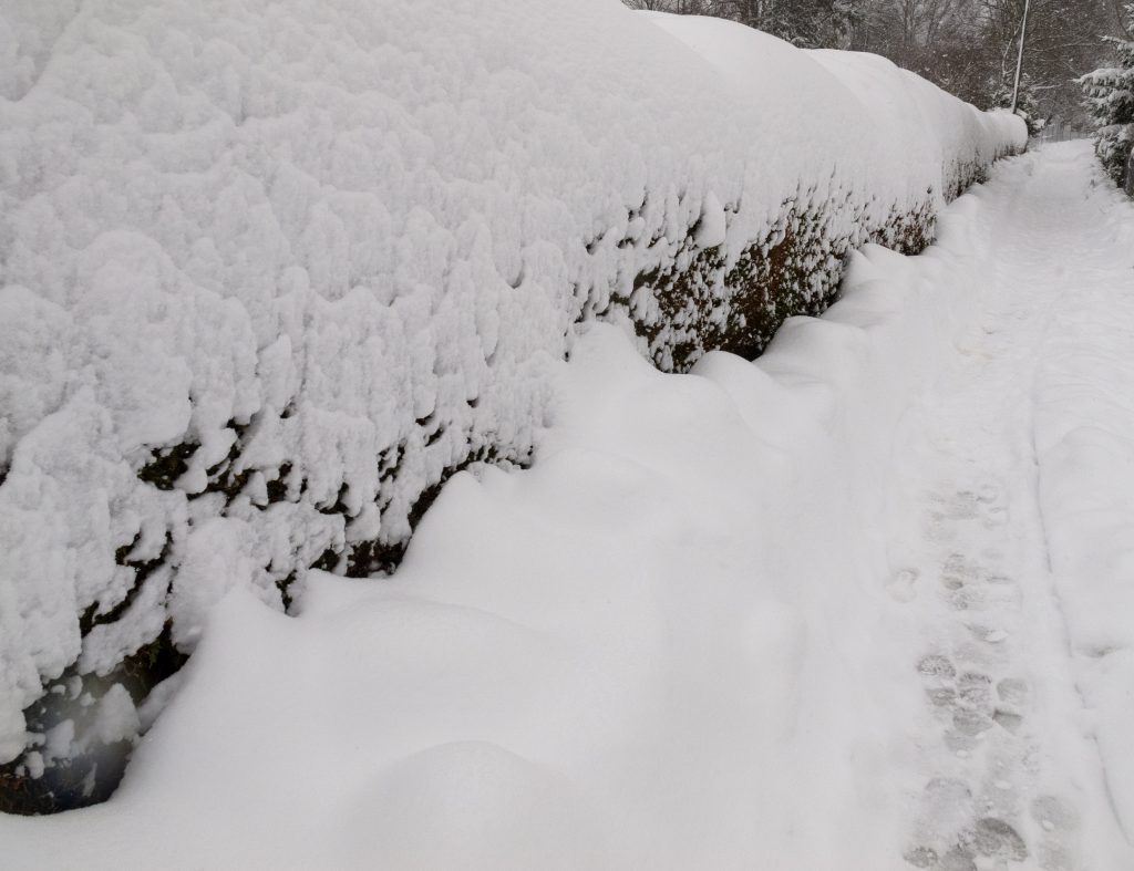
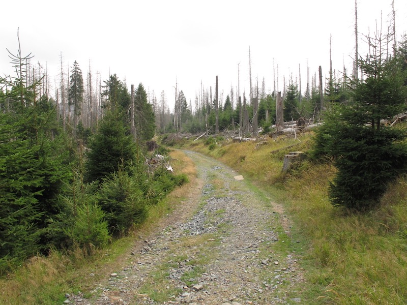
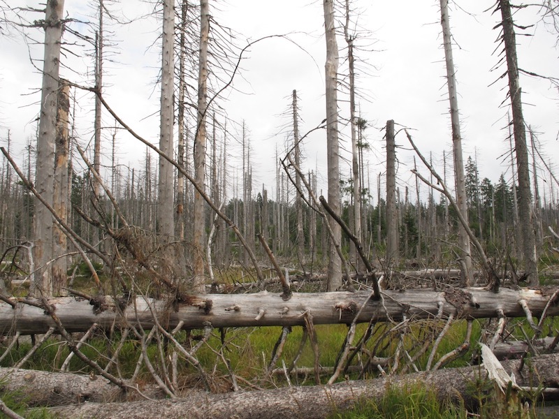
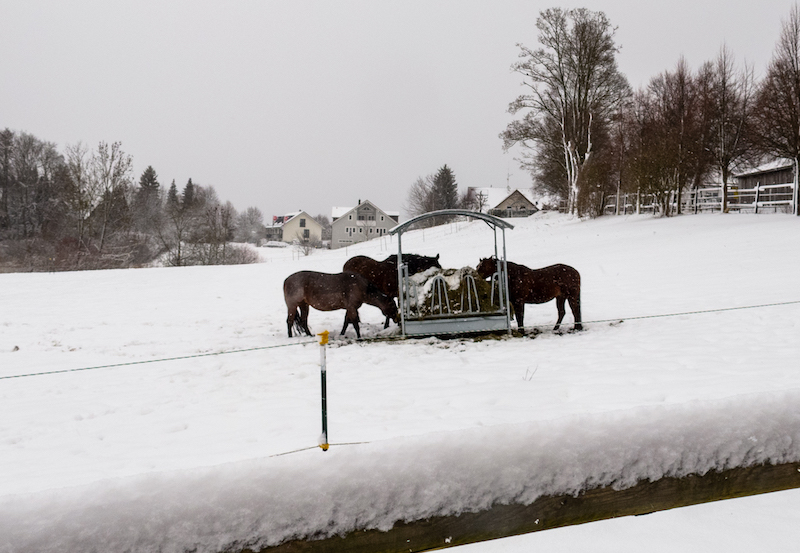
Felled trees were lying on rail tracks and blocked many roads. It became also a rising danger for pedestrians. In Upper Bavaria an emergency alert was issued in the well known tourist areas of Berchtesgaden and Garmisch-Partenkirchen. The snow was growing and growing and became too heavy for the roofs of many buildings. Some roofs had already collapsed. The danger of avalanches was continually rising. Casualties happened because some ski-tourists didn’t listen to the warnings.  In the countryside there were countless car accidents due to bad road conditions.

Beginning with the night of January 12-13 the situation started to become more severe. There was again heavy snowfall but also the temperature began to rise. It also started to rain in lower areas. This is a big problem because it makes the snow much heavier. The danger of trees and buildings collapsing was rising and it still is.

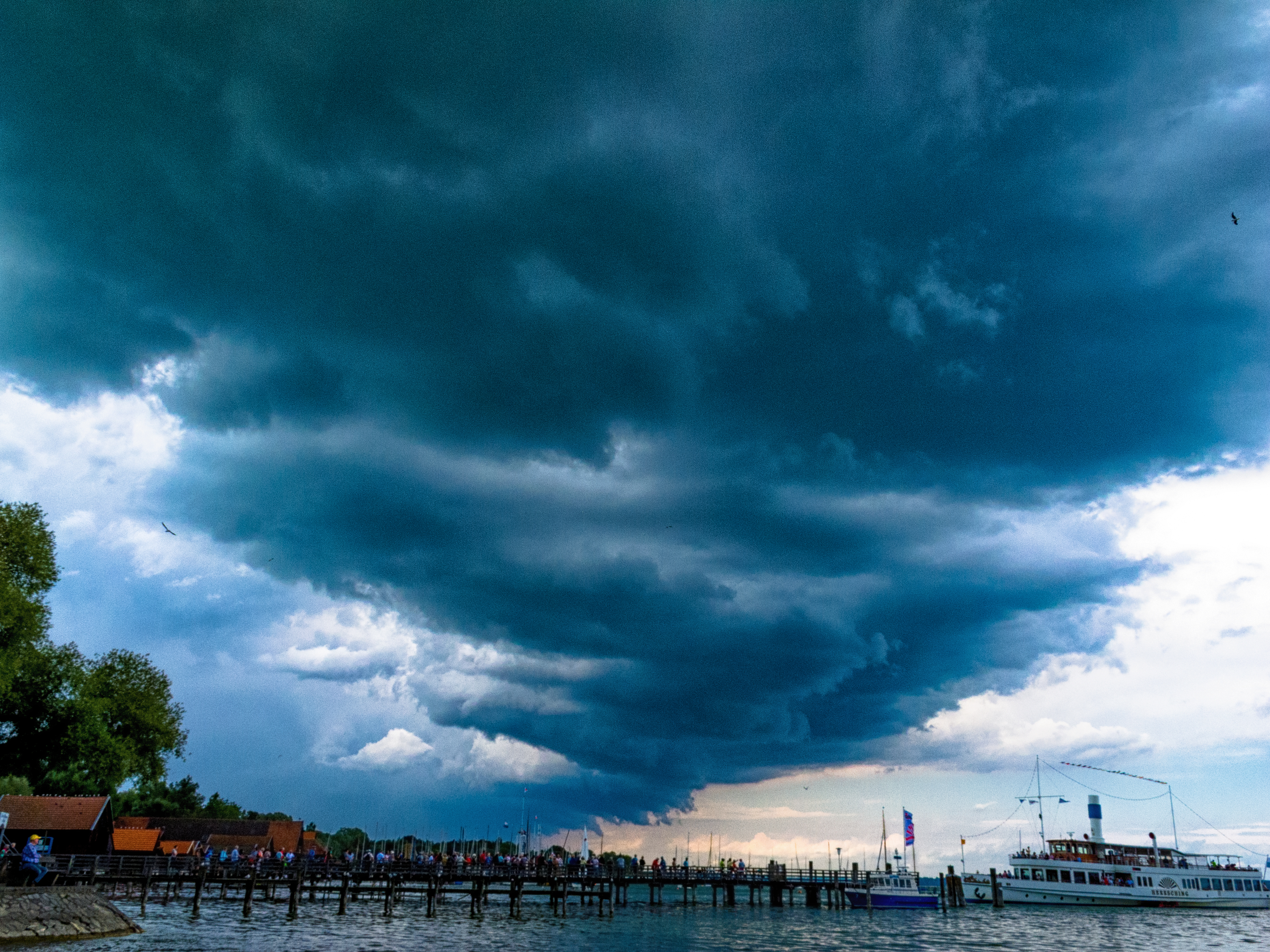
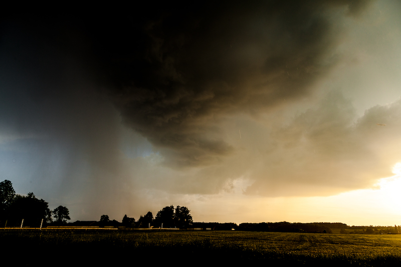
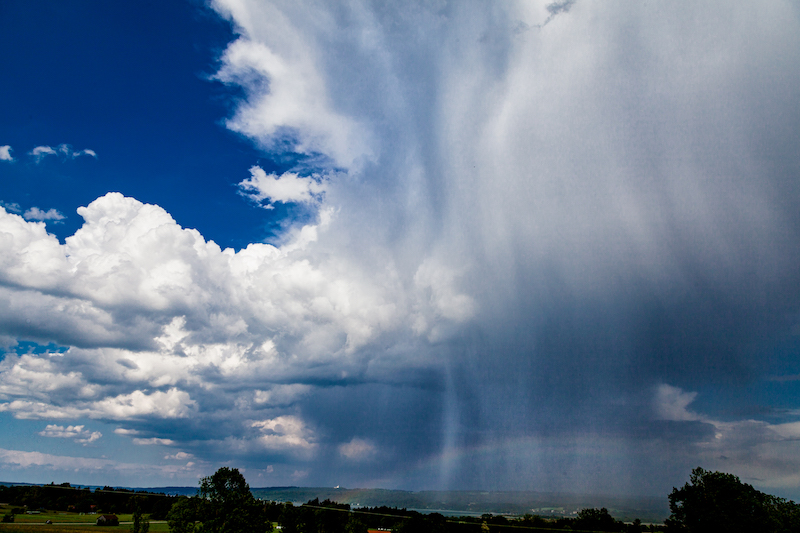
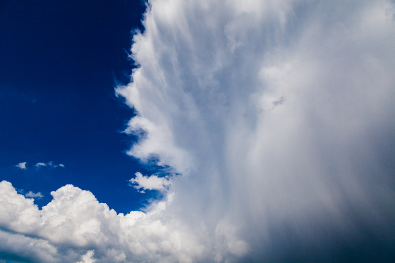
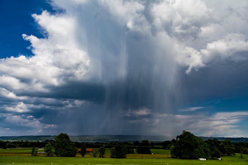
January 13 a severe storm is announced. It stems from another low pressure system arriving from the North. There was already a storm-flood in Northern Germany. Usually the time of mid-January is often a very cold time of the year with long lasting high pressure systems.

Weather researchers are saying this could also related to the changed climate conditions in the arctic. It is somehow a mirror image of the situation in summer when high pressure systems didn’t move any longer and created the drought. Now it is a situation where low pressure systems are hitting against the alps because there is generally not much exchange in the atmosphere. There is again a weather pattern where the same weather conditions last longer as expected.

Extreme situations in the winter happened before in 2006 and 1999 when there was a terribly tragedy due to avalanches in the Austrian Alps in Galtür. Since then a lot of protection measures were put into place in the Alps.


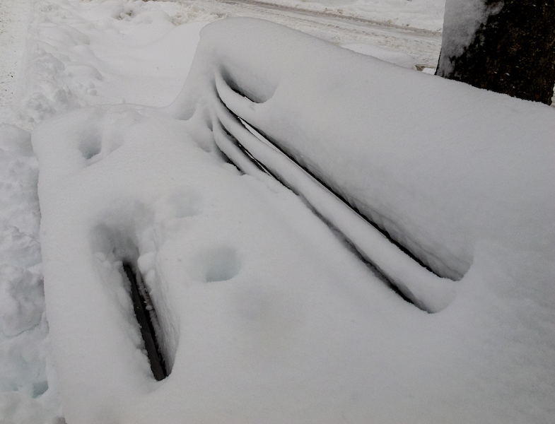
Nevertheless winter is always a great photo-motive: Wind and snow are creating sculptures. If you look you can see also often a “blue light” in the snow. This happens due to refractions of light in the snow.

Weather services are still warning about severe conditions the coming week beginning January 14. Perhaps later there will be some sunshine and people can enjoy the beauty of a winter in the mountains.

DYING FOREST SYNDROME IN THE HARZ MOUNTAINS

Do you remember the “Dying Forest Syndrome” in the 80ties? That was a really huge political issue in Germany and some other countries. 30 years ago there was a nearly apocalyptic fear that the forests could decline due to acid rain. 

Scientists found that air pollution had led to critical concentration of chemicals even far away from the power plants or industries which were responsible. Images of dead trees particularly from the Black Forest, the Harz Mountains and the Bavarian Forest shocked the public.

A huge change in society followed. The political debate led to the rise of the German Green party. New laws were put into place. The apocalypse didn’t happen and the German word “Waldsterben” wasn’t any longer in the news.

But matters proved to be much more tricky as expected. The forest recovered. Certainly, the measures to protect the air were helpful but later scientists found that there were huge mistakes in their assumptions.

It wasn’t always acid rain. Today we know it is a complex chain of factors which isn’t fully understood yet.

Again we see dramatic images in the Harz Mountains. These pictures were taken on a trip on the Western side near Torfhaus and the “Achtermann” peak in summer 2018. There is a fantastic trail from Torfhaus to Braunlage, a skiing centre in the winter. But during the walk, there is indeed a feeling of apocalypse. Getting closer to Braunlage the scenery reminded me of the Doomsday drama “The Road”.

Officials of the National Park say everything is okay. This time the culprit is not acid rain. The trees, which are dying were mostly penetrated by the bark beetle. The management of the Harz National Park indeed wants to replace part of the forest and let these trees die.  They want to grow a healthier forest with different kind of trees instead of the spruce monoculture.

It doesn’t need much fantasy to imagine that a big political controversy followed that kind of forest management. But there are a lot of examples that the National Park Management is on the right track. Some years ago there was a similar dispute in the Bavarian Forest. There are examples that the forest recovers even it takes many years before visitors can experience its natural beauty again. And it seems again that we don’t know exactly what’s going on.

Climate change is the new big player in the game. Unlike acid rain and the bark beetle, the outcome is much more unpredictable. The forest is suffering due to heat and drought during the summer months. The Harz Mountains receive usually a lot of rain. They are situated in the far North of Germany and the low-pressure systems coming from the Atlantic deliver rain. The climate in the Harz region is more like in Scandinavia. But that changed over the last years. 2016 was too dry and 2018 was dramatic. The heat provided perfect conditions for the bark beetle and the trees were already weakened because they didn’t get enough water. But there is more.

Over the last years, there had been devastating storms as “Sebastian” and “Friederike” adding to the damage. They felled a huge amount of trees. It is definitely the best strategy to replace the monocultures. But we can’t be sure what is happening – as it was 30 years ago. The National Park Managers do certainly their best but we are in a situation where there are global changes. We begin to live in a different world. More research should be done to develop the right answers. The dying forest syndrome is again a real threat. We don’t know if we really are in control.  We learned that some assumptions about the decline of the forest 30 years ago were in some way wrong and nevertheless there was a real threat. And it is again.  The most important thing is to stay open-minded and push stronger measures for the protection of our forests and further research forward.

Stock photography by Peter Engelmann at Alamy

A Very Strange Year In Weather History, July 22, 2018

Today is July 22, 2018, and this morning was the first time for months that light rain has fallen for a longer time. In my place and in middle Europe this is usually a most common weather pattern. Or it has been for a long time. Probably 2018 will be seen in history with a record of new weather anomalies.

A normal rainy day is nearly an extraordinary event this year. When it comes to rain it is often extreme and short lived.

The most impressing phenomenon is that weather anomalies seem to happen not only in Europe but on a global scale. There are heatwaves, droughts, bushfires in many unusual places like Northern Europe. In Sweden, a huge bushfire couldn’t be kept any longer under control.

In Germany, there was very little rainfall since April. This is the most unusual part. There weren’t so far any extreme heatwaves but a strong aberration from the usual. Sun was shining most of the time. Temperatures are continually too hot.

It seems that the climate is really changing now at a higher level. In some areas in Germany but also in England there are dramatic consequences. The lack of rain is destroying the harvest. The sunny summer has become a nightmare.

Probably there are many aspects of modern life affected and authorities are well advised to be concerned and to be aware of these changes in nature. Even if things turn back to normal for a while the overall tendency shows a huge change in our seasons and the meteorological conditions.

German newspaper “Tagesspiegel” published recently an excellently researched article about the earth becoming too hot everywhere and the article informs about the meteorological explanation responsible for these anomalies.

Basically, currents in the atmosphere have been slowing down and there isn’t enough movement. High-pressure systems keep their position over months. Therefore the air can heat up. In Europe, the usual low-pressure systems coming from the Atlantic are failing to reach the continent.

The scary thing about this phenomenon is that we see this happen for some time. A lack of movement in the atmosphere was also identified as the reason for extreme weather in the UK when monster-waves hit the shores for a longer time.

This is something which seems to be related to the predicted climate change but my impression is that physics of the atmosphere is not understood so far. We don’t really know why this is happening (I do not know if the scientists would agree, but we had a couple of surprises over the last years).

These anomalies in the weather need adaption strategies. In Southern-Germany, Berlin, Mecklenburg Vorpommern there had been flashflood-events (very strong rain with flooding). This is the other side of the long lasting dry periods. They were caused by showers and thunderstorms.

Shower Clouds in Bavaria. For some day there was at least rain for some minutes in Southern Germany
Shower Clouds In Bavaria. During some days it rained always for some time in the afternoon.

Showers and thunderstorms can’t outweigh the effects of the drought. Except in areas close to the alps, there were many showers over several days. Here it was much better but also not anywhere. There are also areas in Southern-Germany where it is too dry.

The alpine region benefited from the special conditions in the mountains with some rain

The anomaly could also be experienced in areas where thunderstorms and showers were more often. It was kind of a timelapse-spring and things seemed growing too fast. It is also for many people a problem if the weather is far from the inner rhythm and own experience.

This is certainly an area which needs attention from researchers and authorities: we know definitely that high temperatures cause much more traffic accidents. Also, criminal behavior is affected by weather. But we know very little how our working capabilities suffer from disturbing experiences. One effect seems to be that people getting tired and easily exhausted. There might be also health risks not only related to sudden heatwaves but also with longer periods of weather which is not normal compared to the usual weather pattern in a given season or a certain month.

Many weather forecasters are already aware of the situation that this is not a great summer and that “rain and clouds are not a bad thing” but it is strange that some public voices still seem to have no idea what’s going on.

A higher awareness of the situation could not only save lives if we see further extreme weather but create a preparedness which is needed in the given situation: farmers need our help in restructuring, many institutions like nursery homes urgently need conditioners. A situation like 2003 – the first year with a long lasting extreme heatwave – when in Europe thousands of elderly or sick people died is not acceptable for a civilized society. Thus we need understanding and a better sense of the seriousness of the situation.

Do we really know what’s going on in our atmosphere?

A Waterfall In The Sky: Thunderstorms In May And Fallstripes

May is often a time in the year of short-lived thunderstorms and some cooler rainy days in Middle Europe. However, since some years there is also more severe weather with flash floods and even tornados in May. 2018 had been particularly unusual with new temperature records in April. It was too dry in many areas and it still is. A big problem is that it seems that steady rain is missing more and more. Long lasting rain was a common weather pattern every year which wasn’t very amusing for tourists but important for nature and farming. That changed. As predicted by climate change researchers we have more showers and thunderstorm with extreme flooding now.

When I was younger I remember May not as a very warm month. In some years there was still a lot of snow in the mountains. Often it was very cold in the middle of the month. But this year it was more like midsummer rather than spring.

In Southern Germany, the dry period ended to a certain extent and more and more showers and thunderstorms happened.

The first thunderstorm in my area close to lake Ammersee in Upper Bavaria developed on early evening May 12.

It was very impressing because of the late sun which illuminated the clouds and rain at a low angle. May is a good time for taking pictures of thunderstorms because often the light is better as in July and the air is often more clear. Furthermore, it is a good time to photograph fall stripes of rain which look like curtains and can create very interesting patterns.

The following days more thunderstorms occurred. Weather forecasters had a tough time during May. A couple of time stable, warm weather was predicted. But weather doesn’t behave like it was supposed to be. On Pentecost, May20+21, it should have been warm and dry but there were thunderstorms and showers. May 20 indeed was a surprise, because that “summer day” was more or less a dark day with a heavy thunderstorm and flooding in a village between Murnau and Garmisch Partenkirchen. Already on May 18 an open-air event had to be cancelled due to a thunderstorm in Fürstenfeldbruck, a city not far from Munich.


This is what Sunday, May 20, happened: In the afternoon the sky was loaded with dark clouds and rain. There were also shrouds of mist surrounding the Hohen Peissenberg, which can be seen in the background. Some lightning could be seen in the South. In the evening the weather calmed down.

Morning, May 21, began with a misty sky. There was a low hanging layer of mist between the mountains an the lower areas. The mist soon disappeared and the sky became clear:
The air was still humid and the sun was hot. Perfect conditions for the development of further thunderstorms. In the late afternoon, a thunderstorm cell moved towards lake Ammersee. It was very interesting to follow this thunderstorm since there were fascinating patterns of fall stripes. Furthermore, there was also a rainbow.

It was remarkable that this year in May the thunderstorms were often moving in unusual directions. Sometimes there were moving from South-East to South-West or from North to South. Mostly weather systems are moving from West to East. An unusual constellation of pressure systems in Europe was one reason for the long dry period and the further development.

The thunderstorm on May 21 was coming closer for some time but then stopped. Perhaps the huge lake had an influence. It happens often that lakes are influencing local weather.

In this case, it was again good to know some viewpoints in the area before. It made it easier to follow the weather pattern.

The higher position was particularly helpful to see the rainbow which developed during the thunderstorm.

The rainbow was barely visible for some time but then intensified.

However the most special thing was the development in the upper part of the thunderstorm-cloud.

There were not only fall stripes below the cloud but in this case, it was clearly visible that rain came from the upper levels.

It was indeed like a “waterfall” in the sky.

The unstable weather continued.The title picture was taken a few days later, May 24.

There were further dramatic events in the middle of Germany with flooding. There was also a tremendous portion of hail in some places.
KelbyOne. Get better at landscape photography.